St Pierre du Bois, more commonly known as St Peters, is located in the south west of the Island it is bounded on the south-west by Torteval on the north by St Saviour's and on the east by Forest.
The 14th century parish church is one of the most unusual on the island. This is because the main entrance faces north – the Devil’s side - usually a church has its entrance face the parish, but it could be no other side. In addition the floor also slopes 1 ½ metres from east to west so brides literally walk up the aisle. It has a square tower that contains 13 bells, 10 of which create the largest peal in the Channel Islands.
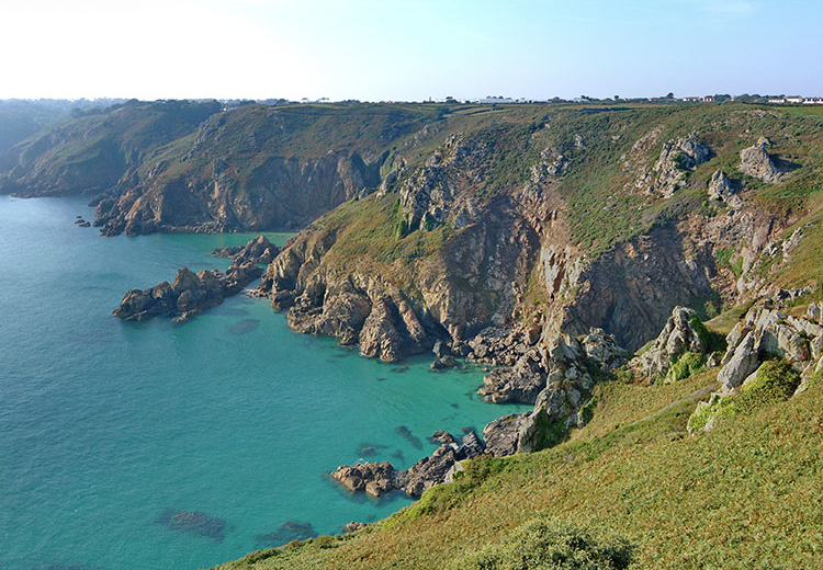
The coastline of the parish is incredibly varied and has a number of interesting features that distinguish it from other Guernsey Parishes including the Martello tower, Fort Grey, known locally as the Cup and Saucer.
L’Eree is a sandy beach further along the coast popular with young families, just inland is L’Eree aerodrome. This is the site of Guernsey’s first land based airfield which has had three runways – one of up to 450 meters. The aerodrome is now the site for The West Show, which takes place in August, the second of the three, and arguably the best, annual agricultural and horticultural shows.
North of the bay, on a small headland, is Creux es Faies which locals believed was the entrance to the fairy kingdom and is at the centre of a legend called Invasion of the Fairies.
Close to the Creux es Faies is La Longue Rocque - is the tallest megalithic standing stone in the Channel Islands at 3 ½ metres above ground, with a further metre below ground. Folklore says that “Grande Pierre", as the stone is often called, is a cricket bat used by giants (or fairies, depending on who is telling the tale!). It allegedly increases fertility if touched which might account for the fact that an area of the north facing edge being worn smooth. Another school of thought is that it had been used as a scratching post by livestock over the 6500 years it has been standing sentinel. A large round rock – the ball – can be found nearby in Rocquaine.
At the tip of the peninsula is Lihou Island, the westernmost part of the Channel Islands. The island is only accessible two days a month at low tide via a stone causeway. On the island are the remains of the Priory of St Mary, thought to have been founded by Benedictine monks in the 12th Century.
In the 19th century a farmhouse was built but it was largely destroyed by the German occupying forces who used it for target practice. It has since been redeveloped and used as an educational resource and used as accommodation for school trips. The island was designated Guernsey’s first Ramsar Wetland site in 2006.
